
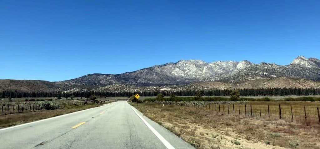
State Route 74, better known as Ortega Highway, is one of the few remaining roads in Southern California where you can cross an entire mountain range without hitting a stoplight. It’s also had a rough September. The Gibby Fire shut the highway down in both directions for nearly two weeks, and while it’s passable again now, this is a road with a long history of not staying open for long.
What’s actually open right now
The Gibby Fire broke out on September 2nd near Rancho Mission Viejo and closed Ortega Highway in both directions, from Gibby Road east of San Juan Capistrano all the way to Decker Canyon Road west of Lake Elsinore, essentially the entire mountain crossing. The fire burned roughly 217 acres and prompted a brief shelter-in-place order in one Orange County zone, but crews stopped forward progress within hours and CAL FIRE listed it at 100 percent containment by September 14th. The highway has reopened since, and as of this week the full Lake Elsinore-to-San Juan Capistrano run is drivable again.
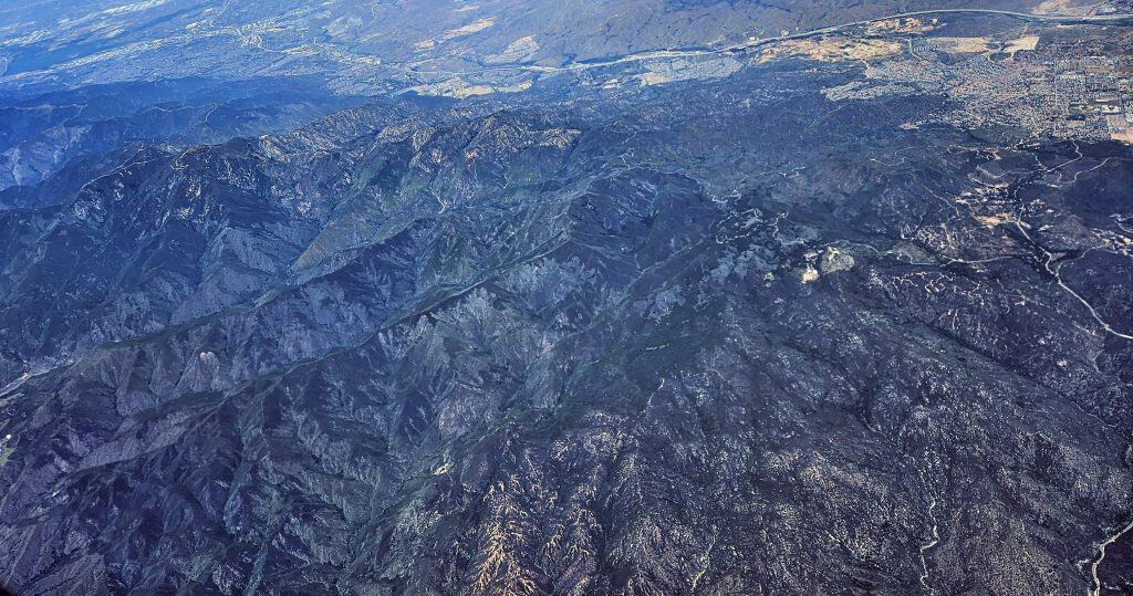
That doesn’t mean expect a clean shot through. SR-74 has a separate, long-running Caltrans widening project on the lower Orange County section, and that project brings its own periodic weekend and overnight closures independent of anything fire-related. If you’re planning a drive, it’s worth checking current conditions the day of, not just assuming last week’s status still holds.
Why this road keeps making news
Ortega Highway earns its reputation honestly. The 32-mile route climbs out of San Juan Capistrano, crosses the Santa Ana Mountains through Cleveland National Forest, and drops into Lake Elsinore on the other side, threading tight switchbacks and blind curves the entire way. The San Juan Creek Bridge, a 1929 arch bridge roughly at the route’s midpoint, is one of the few pieces of infrastructure on the road older than the highway designation itself.
The terrain that makes it a good drive is the same terrain that makes it a recurring headline. Cleveland National Forest is dense, dry chaparral for most of the year, and the canyon corridor the highway runs through has produced fire closures on a near-annual basis, the Gibby Fire is simply the latest. The road also carries one of the worse safety records of any state highway in the region: narrow lanes, minimal shoulder, and drivers treating a genuinely technical road like a commuter shortcut between Orange and Riverside counties. Caltrans’ lane-widening project on the western end exists specifically to address that record, which is also why that construction closure schedule isn’t going away anytime soon.
What this means if you’re planning the drive
Right now, the fire closure is over and the full route is open. Build in the possibility of a Caltrans construction closure on the lower Orange County stretch, especially on weekends, and check current conditions before you leave, this is a road that has closed for fire, storm, and construction all in the same year more than once. If you go, treat it as the technical drive it actually is: narrow lanes, tight sightlines, and a real accident history, not a road for checking your phone at the wheel.
Road status current as of publication, based on CAL FIRE and Caltrans District 8/12 reporting. Ortega Highway has an active closure history between fire, weather, and construction; always verify current conditions before driving.